Borehole logs that stop at 6 meters when the footing is going to 8.5 meters. We see it too often across Perth. The Swan Coastal Plain has deep sand profiles that look uniform but change abruptly at depth. Engineers get a few meters of N-value data, extrapolate the rest, and then hit weak lenses during construction. It happens in Bassendean, it happens in Canning Vale. The fix is simple: drill deeper. Our SPT rigs go where the data actually matters. We work to AS 1726:2017, correlate blow counts with site-specific geology, and deliver logs that hold up under peer review. For sites near the Darling Scarp where colluvium masks bedrock, we combine SPT with seismic refraction to confirm refusal depth before the piling design is locked in.
An N-value without the corresponding sampler type, hammer energy, and depth to groundwater is just a number. AS 1726 requires all four.
Approach and scope
Site-specific factors
Perth sits at 20 meters above sea level on average, but the real risk is the shallow water table. In winter, groundwater rises to within 1.5 meters of the surface across much of the Swan Coastal Plain. That changes SPT interpretation completely. Loose Bassendean Sand with an N-value of 6 above the water table becomes liquefiable below it. The 2010 Kalgoorlie earthquake, while 550 km inland, reminded Perth engineers that intraplate seismicity is real and the recurrence interval for a moderate event here is shorter than most assume. Our team logs the water level before pulling rods, then returns after 24 hours for a stabilized reading. When N-values under 10 coincide with saturated sand and a site within 5 km of the river, we flag it for liquefaction assessment using the Youd-Idriss 2001 framework.
Service video
Relevant standards
AS 1726:2017 – Geotechnical site investigations, AS 4678:2002 – Earth-retaining structures, AS/NZS 1170.4:2007 – Structural design actions, Part 4: Earthquake actions in Australia, ASTM D1586-18 – Standard Test Method for Standard Penetration Test (SPT) and Split-Barrel Sampling of Soils
Related technical services
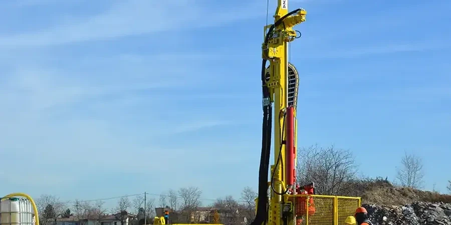
SPT Drilling and Sampling
Track-mounted and truck-mounted rigs for Perth metro sites with limited access. Hollow-stem auger drilling through sand, rotary wash through limestone and clay. Split-spoon sampling every 1.5 meters with full penetration records, sample recovery measurement, and field classification per AS 1726.
N-value Reporting and Soil Profiling
Corrected N60 values with energy ratio documentation. Stratigraphic logs tied to Perth's geological formations: Safety Bay Sand, Tamala Limestone, Guildford Clay, and Bassendean Sand. Reports include groundwater data, sample photographs, and preliminary bearing capacity estimates for shallow and deep foundations.
Typical parameters
Top questions
What is the typical cost of an SPT investigation for a residential site in Perth?
For a standard residential block on the Swan Coastal Plain, an SPT investigation with 3 boreholes to 6 meters depth typically runs between AU$850 and AU$1,090. That includes rig mobilization, drilling, split-spoon sampling, logging, and a factual report. Sites requiring deeper investigation, limited access rigs, or standpipe piezometer installation will push toward the upper end of that range.
How deep should SPT boreholes go for a single-storey house on sand?
Per AS 1726, the minimum investigation depth should extend to where the stress increase from the footing is less than 10 percent of the existing overburden pressure. For a single-storey house on Bassendean Sand, that typically means 6 to 8 meters. We verify refusal or a competent stratum, and we always drill at least 2 meters past any zone where N-values drop below 5.
Do Perth councils accept SPT data without NATA-endorsed reports?
Most Perth councils and private certifiers require geotechnical reports prepared by a chartered engineer with NATA-accredited laboratory backup for any soil classification testing. Our SPT field data is collected under a NATA-accredited quality system and our reports are signed by a CPEng geotechnical engineer, which satisfies council submission requirements across the City of Perth, Stirling, Canning, and Fremantle.